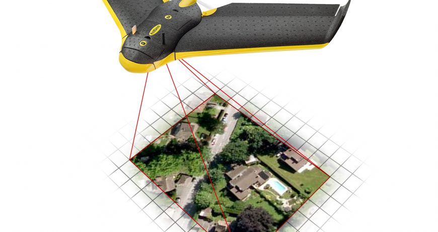
An unmanned aerial vehicle, commonly known as a drone, unmanned aircraft system, or by several other names, is an aircraft without a human pilot aboard.
UAV SERVICES
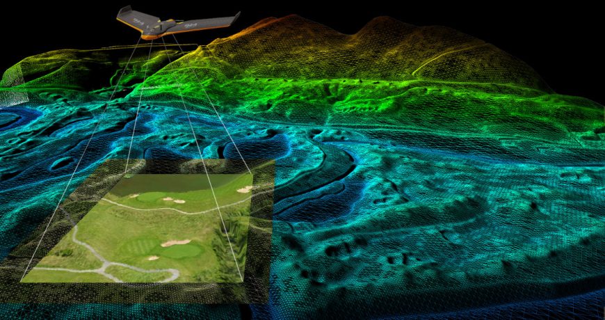
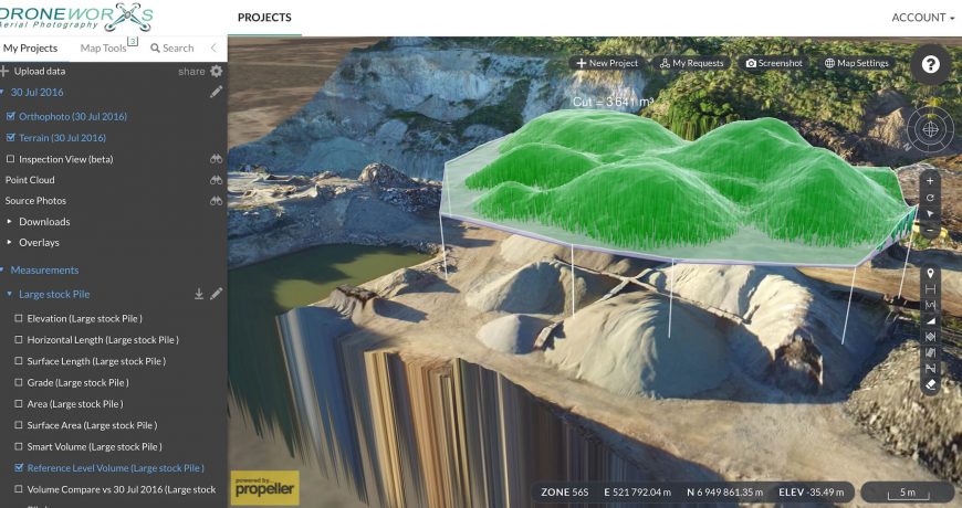
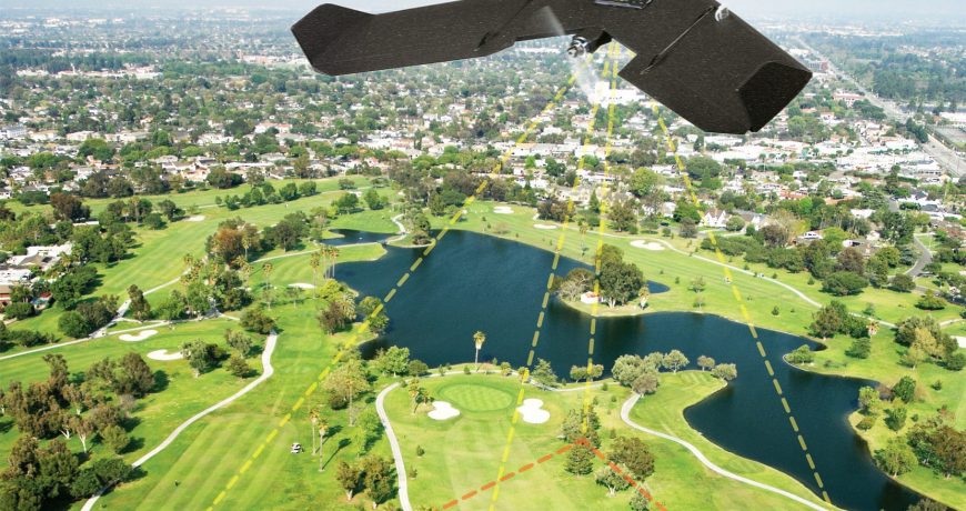
We use drones for photographic and video footage to quickly map survey properties for planned project development. In the past, large sums of money for aeronautical flyovers were used for this purpose. UAV technology is ever expanding into other sectors such as agriculture, stockpile management for quarries and mines, energy, utilities, and even insurance purposes. If you have a project that requires professional UAV services please inquire with us today!
- Aerial Surveys
- Precise aerial mapping
- Generation of electronic files for planning
- 3D Scanning
- Safety inspections
- and more!


