ABOUT US
Surveyors Group, Inc. was established in Loomis, California in 1988.
We added Civil Engineering services for our clients in 1999. Our combined service in this region constitutes a combined effort of nearly 50 years!
With our combined core services of Civil Engineering Design & Consulting, Land Planning and Surveying, it is our vision to utilize the latest technology and resources to better serve our existing and future clients. We look forward to the opportunity to serve you as we turn the corner toward our region’s impending prosperity!
We pride ourselves on our ability to meet the needs of our clients by providing a Quality Service. Our coordinating efforts as a Consultant adds to any Construction/Design Team as a whole.
Together we offer our services for all types of Industrial, Commercial, Private and Public Projects. Our wide range of clients through the years has enabled us to become familiar with all aspects of the industry.
CIVIL + SURVEY
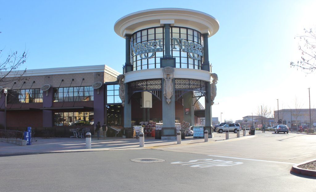
Park Plaza is a signature Retail site for the City of Roseville, bounded by Fairway Drive, Pleasant Grove Blvd., Highland Park Drive and the City Park Site. This particular project is an excellent example of the benefits of having a Civil Engineering Department and a Surveying Department under one roof for our Clients.
Our Survey Department provided the original Topographic Survey of the existing site conditions for design purposes. Our Civil Department then provided the mass grading design for the site, enabling our Client to mine the site of excess material in order to bring it down to street level.
Our Civil Department then, working in conjunction with the Architect, the Developer and the City of Roseville Planning Department, provided the Civil Improvement Plans for the Site. It was extremely challenging to balance the City’s and the Developer’s design criteria, as well as the ADA Requirements (which govern Accessibilty), against the 10-foot fall in elevation from Highland Park Drive to Fairway Drive.
Our Survey Department provided the Staking for the mass grading, and drafted then processed the Parcel Map of Park Plaza, which subdivided the Property to allow the Developer to sell individual buildings as distinct Parcels. We also provided additional Topographic Survey work to design the transition from the lowered site to the adjacent park site, and generated and submitted for Recording the various Easement Descriptions required to make the project work.
This impressive site is only one example of the benefits provided by working with Surveyors and Civil Engineers whose experience runs the gamut from Mapping to Preliminary Grading, through Improvement Plans to Construction Staking!
SPECIALTIES
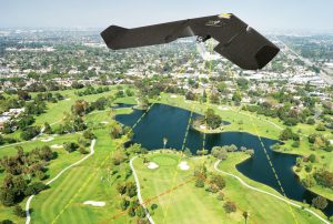
UAV TECHNOLOGY
We use drones for photographic and video footage to quickly map survey properties for planned project development.
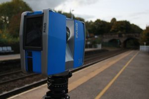
SURVEYING
We work with the latest mapping and surveying equipment to date to stay ahead of our competition.

CONDOMINIUM CONVERSIONS
We specialize in Condominium Conversions, which allow for the sale of individual “air-space” units of an existing multi-unit property.